 The Site
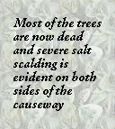
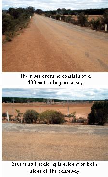
The Kent River crosses Mallawillup Road about 31 kilometres west of Kendenup on the west side of the Albany Highway. The river crossing consists of a 400 metre long causeway that was bituminised longer than 18 years ago. The river at this point is a 400 metre wide flat floodplain that would once have supported a melaleuca woodland or forest. Most of the trees are now dead and severe salt scalding is evident on both sides of the causeway.
The Problem
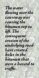
The Kent River floods every year to at least 600 millimetres depth at peak flow and every few years there are bigger floods. The water flowing over the causeway was causing the bitumen top to lift. The consequent erosion of the underlying road-base created holes in the bitumen that were a hazard to traffic. The causeway also got washed away during the bigger floods.
 The Solution
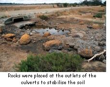
On the southern side of the crossing the Shire of Plantagenet excavated a 1.2 metre deep and 750 mm. wide channel across the riverbed about ten years ago. The channel was subsequently filled with concrete and rocks. At the same time the causeway width was increased to two lanes and the existing culverts were extended and extra culverts were installed. The original culverts were 300 mm. pipes which were left in place rather than dug out, and the new culverts are square box culverts (300 mm. x 1200 mm.). Rocks were placed at the outlets of the culverts to stabilise the soil.
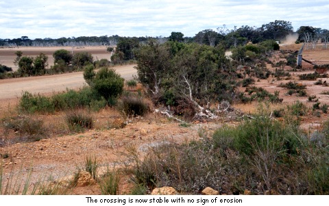
The above works were effective in stopping the outlet side from washing away and the crossing is now stable with no signs of erosion.
Map Reference: 1: 50 000 2329-II