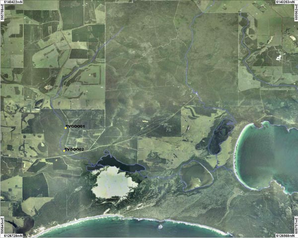
Two sites on Goodga River were sampled. An overview of the sites is shown on the map above. Photographs are available for each site:
| GOO01 | GOO02 |
The average annual rainfall across the catchment is 1100mm and the majority of the rainfall occurs over the winter months. The Goodga Weir is located on the River and has measured stream flow since 1964. In 2004 a fishway was constructed so that fish could migrate upstream of the weir.
The Goodga River catchment typically consists of low forest of Sheoak and Albany Blackbutt. Approximately 30% of the catchment has been cleared for agriculture.
The Goodga River was sampled in August 2007.
Shrimp and fresh water crayfish species Cherax preissii were also found at both sites.
Gobie and Common Jollytail were recorded at GOO02.
Pictures of these can be viewed in the gallery.
Goodga is a fresh water system (1.3 ms/cm) with a neutral pH (6.6 - 6.8 pH).
GOO01 recorded very high levels of turbidity (31.4ntu) and GOO02 recorded a high level (14.5ntu).
The River recorded high levels of total phosphorus (83 - 150 μg/mL). GOO01 recorded high levels of total nitrogen and GOO02 recorded moderate levels.
