|
Gairdner River |
| Gairdner River at a glance | |||
| Catchment area: | 1770 square kilometres |
||
| Average annual rainfall over catchment: | 400-600 millimetres | ||
| River length: | 130 kilometres | ||
| Annual discharge into Gordon Inlet: | 9.4M cubic metres | ||
| Percentage cleared: | 60% | ||
| River health: | highly saline | ||
| Data selection | |||
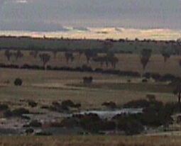
During the rapid expansion of the 1950s and 1960s most of the catchment of the river was cleared and today over 60% of the catchment has been cleared. As a result of clearing the river water is saline, both from the connate salt in the spongolite and cyclic salt deposited over millenia in rain. Salinity now varies from about 10% of sea water (3-4 ppt) when the water is flowing, to 150% (over 50 ppt) in stagnant pool in the river bed in summer.
Large areas of the catchment is covered with sandy topsoils which are easily eroded by wind or water. It is assumed that sedimentation in the river and estuary has increased since clearing, but the rate of increase is unknown. Even if further loss of soil into the river was stopped immediately, there may be sufficient loose sediments in the river-bed to contribute to estuary siltation for decades.
Nutrient pollution is widespread in the Gairdner River, affecting both the river pools and the estuary. The river, when flowing, has high levels of phosphate.
In 2005 the Our Living Rivers project was set up to collect and analyse data, enabling the Department of Water to monitor the health of the river over time and help determine what systems need better protection. In spring 2006 and 2007 samples were taken from the river system to assess the quality of the water and habitat as well as the presence of fish and macroinvertebrates. Five sites were sampled on the Gairdner River.
Further Information:
Estuaries and Coastal Lagoons of South Western Australia: Beaufort Inlet and Gordon Inlet. Environmental Protection Authority, Perth, Western Australia. Estuarine Studies Series Number 4 November 1988.