Waychinicup River
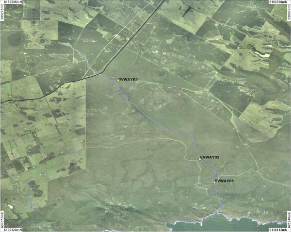
Three sites on Waychinicup River were sampled. An overview of the sites is shown on the map above. Photographs are available for each site:
Background
Waychinicup River is located 40 kilometres east of Albany, with the majority of the catchment being located in the Waychinicup National Park. The River is only 16 kilometres long and flows into the Waychinicup Inlet. The Inlet is permanently open to the ocean.
The Waychinicup River typically consists of low forest of Sheoak and Jarrah across the upper catchment and mallee scrubland in lower catchment. Approximately 30% of the catchment has been cleared for agriculture.
The Waychinicup River was sampled in October 2006.
Fish
Gobie, Western Minnow and Western Pygmy Perch were all recorded in the River. Fresh water crayfish species
Cherax preissii and Marron were also found. Pictures of these can be viewed in the
gallery.
River foreshore vegetation condition
The foreshore condition at both sites was determined to be in A grade condition.
Water Quality
Water samples were taken once from each site so while they help describe the water quality at the time of sampling they can not be used to explain the overall condition of the river for the rest of the time.
Waychinicup River is a fresh water system (averaging 1.8 ms/cm) with a neutral pH (6.5 - 7.0 pH).
The River recorded low levels of turbidity between 0.9 and 1.3ntu.
Both sites recorded low levels of total phosphorus and total nitrogen.
