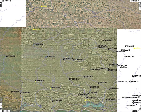
Three sites on the Kent River, one site on the Styx River and one site on the Nile River were sampled. An overview of the sites is shown on the map above. Photographs are available for each site:
| KEN01 | KEN02 | KEN03 | KEN08a | KEN10 |
The River flows into the Owingup Swamp, a wetland system on the coastal plain, before continuing into the Irwin Inlet.
The five sites were sampled in October 2007.
Balston's Pygmy Perch were found at site KEN03 and Shrimp were found at sites KEN02 and KEN08a. Marron and three other freshwater crayfish species (Cherax preissii, Cherax crassimanus and Cherax quinquecarinatus) were also recorded in the river system.
Pictures of these can be viewed in the gallery.
The Kent River is a brackish system, with a conductivity reading between 8.8 - 11.5 ms/cm, while the Styx River and Nile River tributaries are fresh.
The sites on Styx River and Nile River were acidic (4.6 - 5.7 pH) and all sites on the Kent River were neutral (7.1 - 7.2 pH).
The turbidity level of each of the sites was low and ranged between 0 and 4.4 ntu.
The level of total phosphorus at each of the sites was low. The level of total nitrogen was low on the Styx and Nile Rivers and was moderate for all other sites.
